.png)
Follow Us!
Public Health Chronicle
Latest public health news and updates of the world
Earth Maps: A FAO initiative
Content Editor: Dr. Tanya
June 25, 2024 at 3:30:00 PM
Climate change, Earth Maps, Mapping
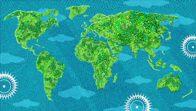
Earth Map is a Google Earth Engine powered cloud-based platform that helps monitor changes on the surface of the Earth, thereby helping with environmental and climate assessments.
Earth Map was launched in 2020.
Applications of Earth Maps include:
Conservation of Natural Areas,
Restoration and Protection of Ecosystems,
Useful in cost-effective project preparation and investment design
Prioritization of target areas when designing developmental projects
Tools for environmental protection initiatives
Tool for Global Climate Assessments
The award celebrates users and organizations for innovatively using Google's mapping tools to create state-of-the-art impact.
Earth Map is a pioneering move by FAO, keeping in lines with its guiding principle of leveraging innovative solutions for safeguarding agrifood and environmental ecosystems.
Click here to read more.